


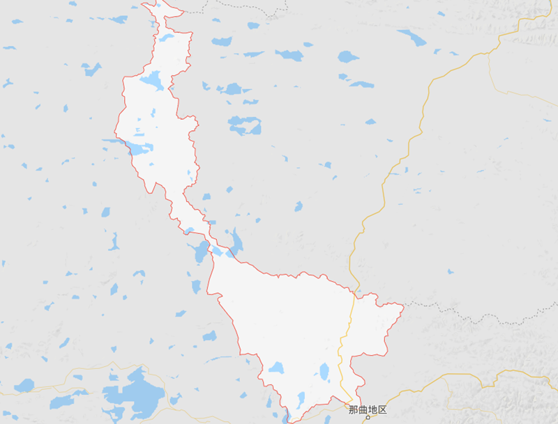
Location Map of Amdo County in Tibet
Amdo County is located in the northeastern part of the Tibet Autonomous Region (TAR), China, within Nagqu Prefecture. The county is situated on the Tibetan Plateau, known for its high-altitude terrain, vast grasslands, and rugged mountains.
Geographical Coordinates:
- Latitude: 31.6526° N
- Longitude: 91.6500° E
Borders with Neighboring Areas:
- To the North: Amdo County borders Qinghai Province, which lies to the north of Tibet.
- To the East: It is near the Tibetan Plateau’s northeastern edge, adjacent to Xining in Qinghai Province.
- To the South: Amdo County borders Nyima County, which is also part of Nagqu Prefecture in Tibet.
- To the West: The county shares borders with Dinggye County in Shannan Prefecture.
Amdo County is located in the northeastern part of Nagqu Prefecture, Tibet, and borders Qinghai Province to the north. It shares its southern border with Nyima County, and its western border with Dinggye County. The region is known for its vast plateaus and is strategically positioned on the northeastern edge of the Tibetan Plateau.


