


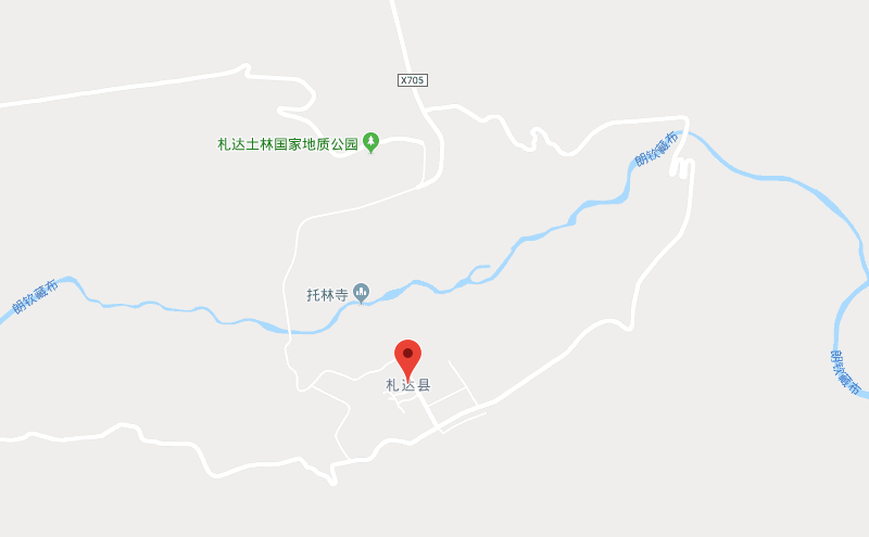
Location Map of Zanda County in Tibet
Zanda County is located in the northwestern part of the Tibet Autonomous Region (TAR), China, within Ngari Prefecture. It is known for its rugged landscapes, including the famous Tibetan Plateau and proximity to sacred sites like Mount Kailash and Lake Manasarovar.
Geographical Coordinates:
- Latitude: 31.6965° N
- Longitude: 80.0991° E
Borders with Neighboring Areas:
- To the North: Zanda County borders Qinghai Province and the northern reaches of the Tibetan Plateau.
- To the East: It is near Nyima County, which is close to Lake Manasarovar and Mount Kailash.
- To the South: Zanda is located near the Purang County area, which connects to sacred regions in western Tibet.
- To the West: The county shares proximity with areas bordering India, specifically the Uttarakhand region.
Zanda County is located in the northwestern part of Ngari Prefecture, near the Tibetan Plateau. The county is close to sacred sites such as Mount Kailash and Lake Manasarovar and shares borders with Qinghai Province to the north and India to the west. This region’s high-altitude, remote landscapes make it a vital cultural and geographical area in western Tibet.


