


Bangda Grassland in Baxoi County, Chamdo
Chinese Name: 邦达草原
English Name: Bangda Grassland in Baxoi County, Chamdo
Location: Located in Baxoi County, Chamdo Prefecture, Tibet Autonomous Region
Admission Fee: Free
Opening Hours: All Day
About Bangda Grassland
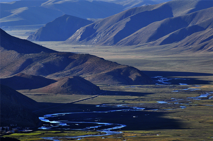
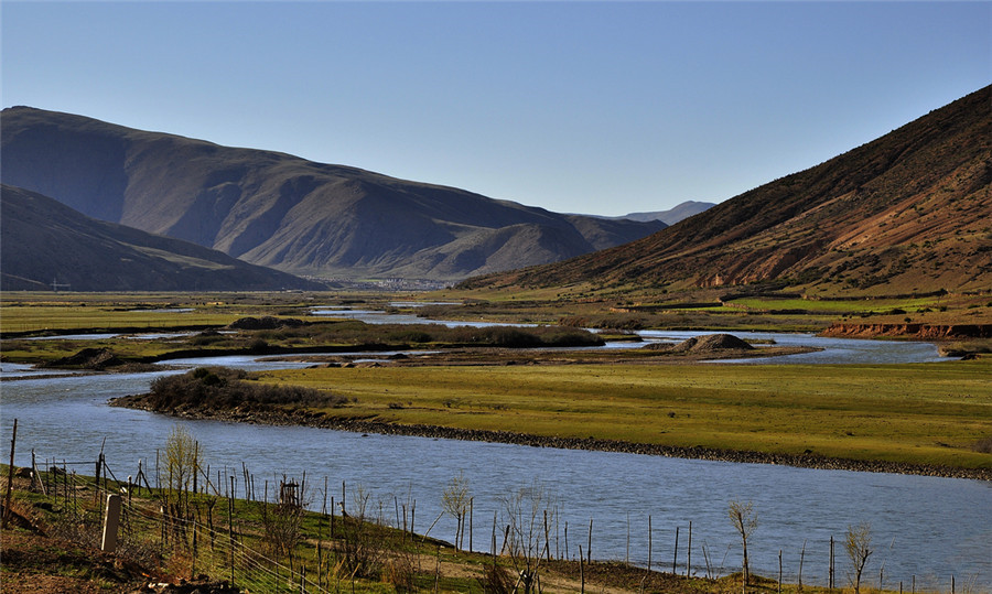
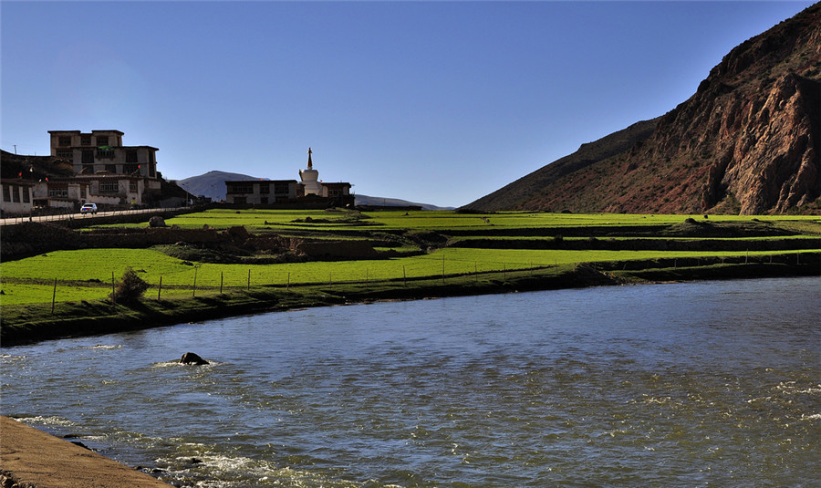
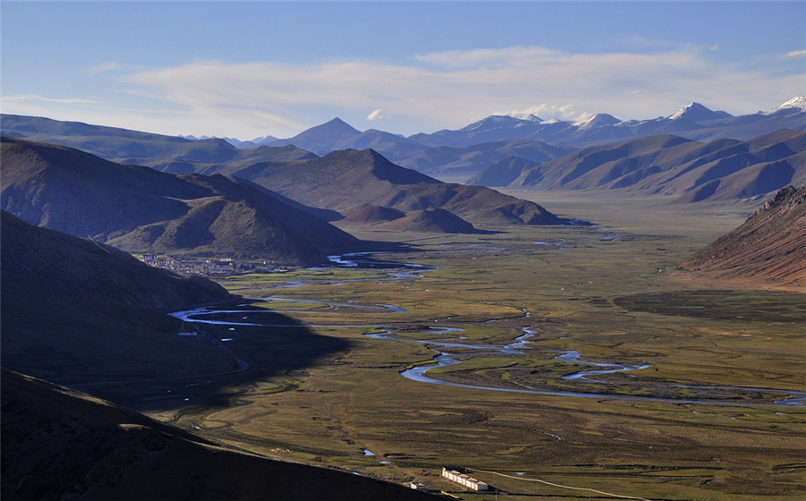
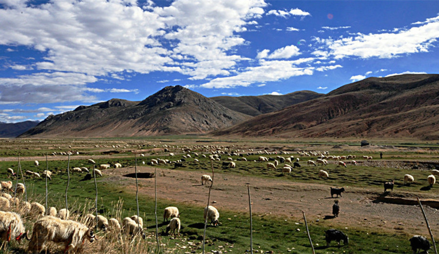
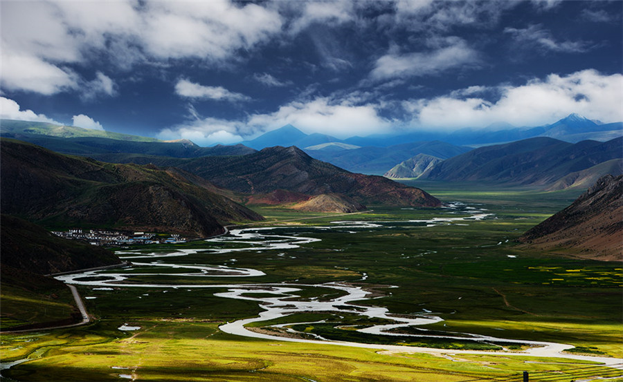
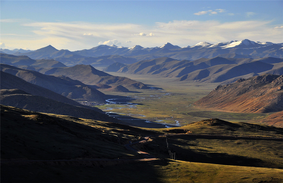
Located in the deep valley of the three river watershed of Baxoi County(八宿县), Chamdo Prefecture(昌都市), Tibet Autonomous Region, Bangda Grassland(邦达草原)is alpine grassland with broad and slow topography and plenty of water and lush grass, which is more than 130 kilometers away from the county seat. Bangda Grassland transcends Bangda Town(邦达镇), Yiqing Township(益庆乡)and so on. Ququ River(玉曲河)flows through the narrow valley, where visitors can reach after about 3 hours travel from Lancang River(澜沧江)in Chamdo Town(昌都镇). Here at an altitude of 4200 meters, is the watershed of Lancang River and Nu River and the mountain basin on the mountain ridge of Tenasserim Chain(他念他翁山). Bangda Prairies are more than 80 kilometers long and 20 kilometers wide. The land is flat and the grassland is fertile.
About the Scenery and Resource of Bangda Grassland
Winding the upstream of Yuqu River, the tributary of Nu River, there grows the dense and low wormwood, carex meadow plants. In addition to the herds of cattle and sheep wandering there foraging, occasionally there will be some goa haunting. Due to the east of Tibet location, the precipitation is slightly larger than that of the central and western regions of Tibet. The grass grows better. This is the better natural grassland in Tibet and the animal husbandry is more developed. The unique grassland environment also makes Bangda Grassland an important medicinal plant. There are the fritillaria, ginseng fruit, rhubarb, big leaf radix gentianae macrophyllae and rhodiola, and one of the most famous Chinese caterpillar fungus, etc.
Information about Bangda
Bangda is a transport hub in eastern Tibet, and the world’s highest airport which was built in 1995 is situated in the north of Bangda Grassland. The north and south lines of the Sichuan-Tibet highway also meet again here. Here is the must pass of the famous Ancient Tea-horse Road. Now has opened up well highways versed in Tibet and Sichuan, Yunnan, such as Sichuan-Tibet, and Sichuan-Yunnan highway. In 1995 there set up Bangda Airport on the plateau, and opened the air line from Chamdo to Sichuan Chnegdu. At 4,330 meters above sea level, it is the world’s highest airport with the longest runway, which greatly shortened the time schedule from Chamdo to Chengdu and and greatly strengthened the prosperous economic ties and cultural exchanges with the mainland, effectively promote the social development of Chamdo Prefecture.
Attraction Transportation
China National Highway 318
Due to convenient transportation, it is easy to take a ride at west Bomizhamu town and at east Baima town in Baxoi. Rawok, situated by National Highway 318, is the starting point of Rawok – Chayu road, 127 km to Bomi and 90km to Baxoi County.
Attraction Travel Tips
- Traveling Hours: 3 hours
- Traveling Seasons: May and September.
- High Altitude Sickness Avoiding: Better take some medicines for relief and keep warm all the time.
- As there is a large temperature gap between daytime and night, it is highly recommended to take along some pieces of thermal clothing, hat, and gloves and so on.
- Please try your best to respect the religious belief and local customs.
- As well as the Tibet Entry Permit, you also need to apply for Border Permit for traveling as this destination lies near the Chinese territory boundary.


