


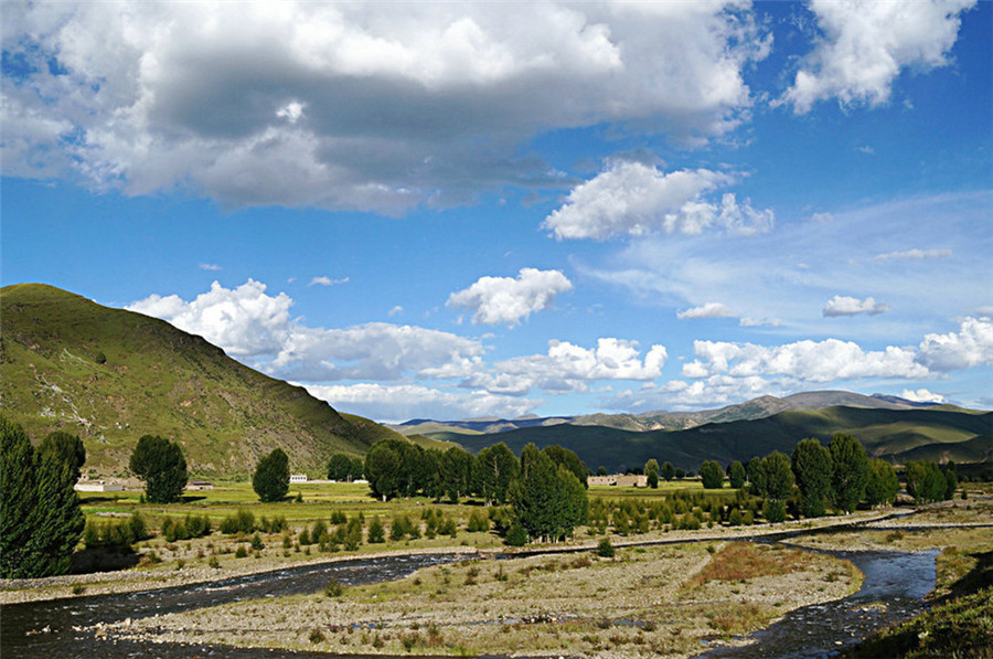
Banghe River in Daocheng County, Garze
English Name: Banghe River in Daocheng County, Garze
Chinese Name:甘孜州稻城县傍河
Banghe River in Daocheng County is located between Sangdui and Sela Villages.
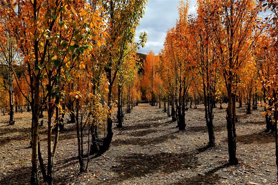
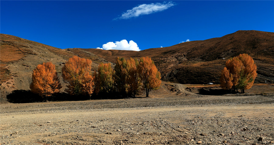
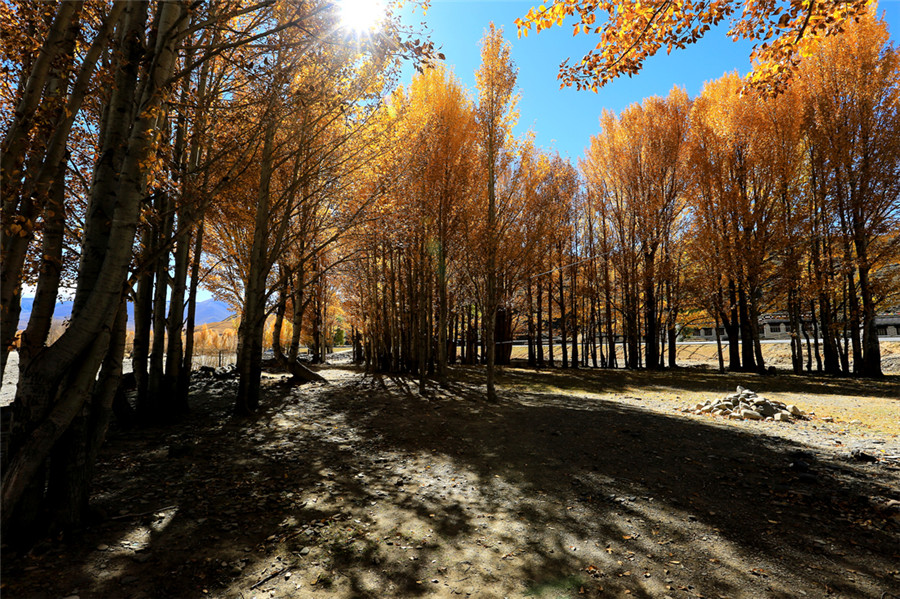
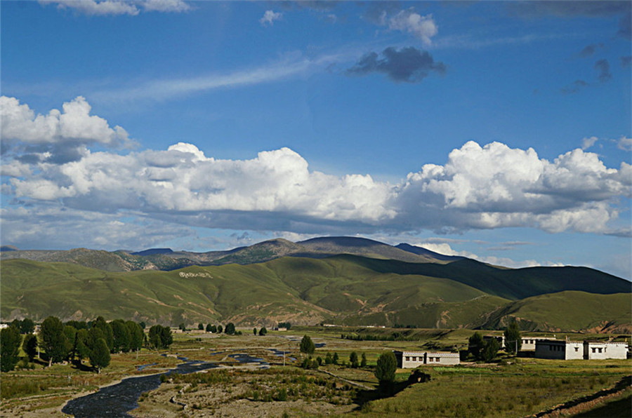
傍河在县城附近,位于桑堆(北)至色拉(南)两村之间,公路旁的田园风景让人流连忘返,其中“桑堆小镇”、“色拉晨雾”、“傍河夕照”最为有名。色拉村是藏民集居地,如果有幸被邀请去热情好客的藏民家吃喝玩乐,是一大幸事。
选择拍摄傍河的田园风光适合一早一晚。光线斜射时,如果有炊烟或薄雾更是无比秀丽,附近山上河边的杨树,常常被一束天光所罩,不要放过这些美丽的瞬间。注意寻找开阔的位置,并要留心附近光源方向、山的高度,以防因山高而影响日出推迟或日落过早。在时间安排上,由于距离县城很近,可自己掌握。
用时参考
1-3小时
交通
从稻城县城可以租车或三轮摩托车,一般30元左右,也可选择租自行车或步行前往
门票
免费
开放时间
全天开放
景点位置
甘孜藏族自治州稻城县去往亚丁的公路两边


