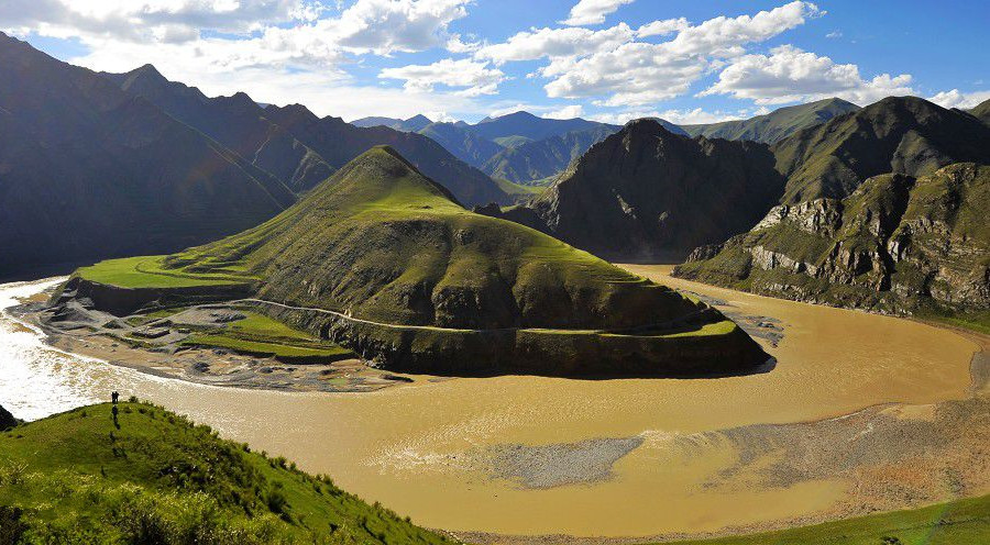
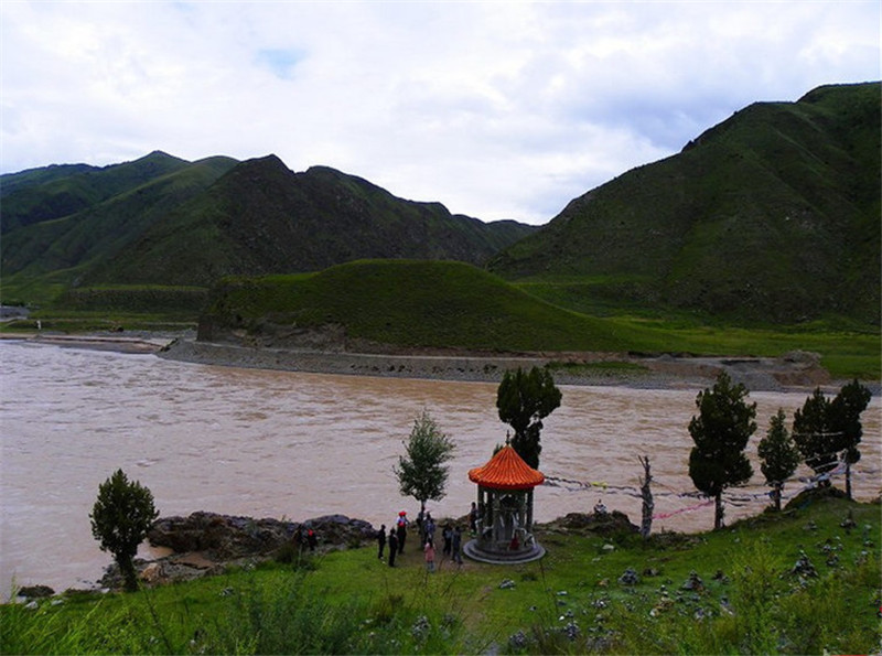
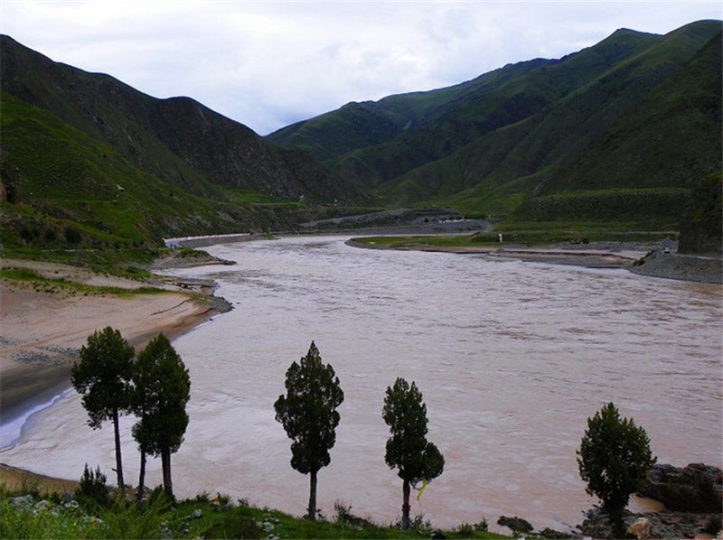
Tongtian River in Yushu, Qinghai
Tongtian River (通天河) is an upper section of the Yangtze River (长江), located in Yushu Tibetan Autonomous Prefecture (玉树藏族自治州), Qinghai Province (青海省). It begins at Nangqibalong (囊极巴陇), where the Dangqu River (当曲, the main source) and Tuotuo River (沱沱河, the western source) converge in Zhiduo County (治多县). Flowing through Zhiduo County, Qumalai County (曲麻莱县), Chengduo County (称多县), and Yushu City (玉树市), it continues until Batang River (巴塘河) confluence at Jiegu Town (结古镇). Beyond this point, the river is called Jinsha River (金沙江).
From Nangqibalong, Tongtian River runs 828 km, or 1174 km when calculated from its source, draining an area of approximately 140,000 km². The river has a natural drop of 940 m, an average discharge of 400 m³/s, and an annual runoff of about 13 billion m³. With a low sediment content of 0.74 g/m³, the river water is clear and of high quality. Its theoretical hydropower potential reaches nearly 3 million kilowatts.
Tongtian River is famous in Chinese literature as the setting of the crossing chapter in Journey to the West (西游记).
Geography and Climate
The Tongtian River basin is shaped like a branching tree, with more abundant tributaries on the southern side. The region has a high-altitude, cold climate. Most of the basin has an annual average temperature below 0°C, with strong winds and thin air, while lower valley areas are relatively mild and humid. The complex geography creates diverse grassland pastures, making it an important pastoral area in the upper Yangtze.
Along the river, Tibetan herders traditionally raised livestock, while farming was limited to small patches of highland barley before 1949. Since the founding of the People’s Republic of China, agricultural land has expanded, and wheat, vegetables, and melons have been successfully introduced. The river is also rich in placer gold and fishery resources.
Name and Historical Records
The name Tongtian River (“River Reaching Heaven”) reflects its origin on the high-altitude Qinghai–Tibet Plateau (青藏高原). Historically, it referred broadly to the upper Yangtze River within Qinghai.
In ancient texts such as Shangshu · Yugong (《尚书·禹贡》), the Yangtze’s source was attributed to Mount Min (岷山). Later explorers, including the Ming geographer Xu Xiake (徐霞客), traced it to Jinsha River. During the Qing Dynasty, surveys and maps recorded Tongtian River and other upper reaches, though debates remained on the true source of the Yangtze.
In modern times, scientific expeditions (1976, 1978, 1983, 1986, and 2008) compared the lengths of Tuotuo River and Dangqu. Data varied, but recent studies favor Dangqu as the true source, as it is longer, carries more water, and drains a larger area. In 1999, an environmental monument was erected at Tuotuo River and Geladandong Glacier (各拉丹冬雪山), inscribed by then-President Jiang Zemin (江泽民).
Upper Reaches
The upper section of Tongtian River runs 278 km from Nangqibalong to the confluence with Chumaer River (楚玛尔河). Along its course, it receives tributaries such as Ranqu (然池曲), Dongbuliqu (冬布里曲), Dahaqu (达哈曲), and Moqu (莫曲).
The river alternates between wide shallow valleys and narrow gorges, such as Majige Gorge (马日给峡) and Yage Gorge (牙哥峡). The valley features braided streams, marshlands, and lakes, with over 3100 lakes in the basin, including two larger than 10 km². The terrain is mostly composed of limestone, sandstone, and slate, with an average slope drop of 0.9‰.
Lower Reaches
The lower section runs 550 km from Chumaer River confluence to Batang River mouth at Yushu City. It receives numerous tributaries, including Bangbayong (邦巴涌), Sewuqu (色吾曲), Dengenyong (登恩涌), Charenqijiu (查仁其九), Deng’equ (登额曲), Dequ (德曲), Xiqu (细曲), and Yiqu (益曲).
The river flows through alternating broad valleys and deep gorges. At Zhimenda Hydrological Station (直门达水文站), the river averages 150–200 m in width with depths of 2–3 m, deepening to 4 m or more in the gorge section. The terrain becomes more rugged, with mountain reliefs reaching 400–600 m above the valley floor.
From its source region to Batang River confluence, Tongtian River drains about 140,000 km², with the main channel extending 1174 km.
Travel Tips
- Best Season: Summer (June–August) offers milder weather and accessible roads, but be prepared for strong UV and sudden rain.
- Altitude Caution: Much of the Tongtian River lies above 4000 m; acclimatization and slow travel are essential.
- Cultural Highlights: The river valley is home to Tibetan herders; visitors may experience local nomadic traditions.
- Scenic Spots: Majige Gorge and Yage Gorge offer dramatic landscapes, while upper valley marshlands host rich birdlife.
- Practical Advice: Travel conditions can be harsh; pack warm clothing, sun protection, and carry basic medical supplies.


