


Location Map of Mainling County in Tibet
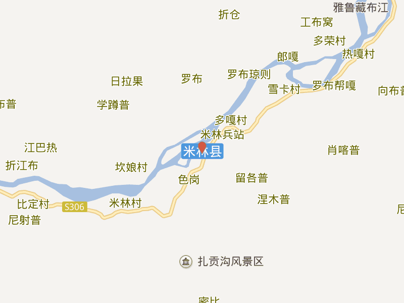
Mainling County is located in the southeastern part of the Tibet Autonomous Region (TAR), China, within Nyingchi Prefecture. The county is situated in a region known for its lush forests, deep valleys, and proximity to the Yarlung Tsangpo River. It is part of the area often referred to as “Tibet’s Swiss Alps” due to its natural beauty.
Geographical Coordinates:
- Latitude: 29.6577° N
- Longitude: 94.2320° E
Borders with Neighboring Areas:
- To the North: Mainling County borders Bomi County, which is also part of Nyingchi Prefecture.
- To the East: It is near the Tibetan-Chinese border with Sichuan Province.
- To the South: The county lies close to India and is part of the southern Tibetan region.
- To the West: Mainling borders Medog County, which is located in the lower Yarlung Tsangpo River valley.
Mainling County is located in the southeastern part of Nyingchi Prefecture, in Tibet, and is known for its stunning landscapes and cultural significance. The county borders Bomi County to the north, shares proximity to Sichuan Province to the east, and is near India to the south. It is also close to the Yarlung Tsangpo River, which flows through this scenic and ecologically rich region of Tibet.


